 Antiques (UK)
-
$60.03 GBP

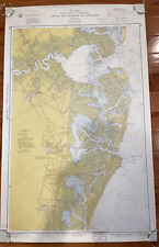 1960 Vintage Nautical Map Atlantic City to Cape May NJ Shore C.&G.S. 38”x24
-
$49.00 GBP
 VINTAGE ADMIRALTY CHART. No. 266. BARNEGAT INLET to ALBEMARLE SOUND. 1923 EdN.
-
$24.01 GBP
 Vintage - NOAA 1993 35th Ed Nautical Map - Approaches to New York 12300 Unfolded
-
$49.63 GBP
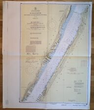 Original 1950s Nautical Chart Map,Hudson River,Fort Washington,New York Jersey
-
$120.07 GBP
 Hudson and East Rivers Nautical Map #745 - Governors Island to 67th - 1944
-
$260.15 GBP
 1839 CHART OF NEWARK BAY ~ SURVEY MAP ~ SCARCE ~ LARGE FORMAT
-
$68.04 GBP
 Hudson & East Rivers Nautical Map Governors Island to 67th Vintage 1975 New York
-
$80.04 GBP
 1936 5 map set Inland waterway New York to Key West, Coast & Geodetic Survey


